Transportation Planning
 The City has three plans that focus on Transportation Planning - the Active Transportation Plan, the Chilliwack Transportation Plan and the Cycle Vision Plan. Together these plans help the City guide decisions for active and sustainable transportation such as bike lanes, sidewalks and multi-use pathways.
The Active Transportation Plan
What is active transportation?
Active transportation refers to all forms of human-powered transportation that move people and goods to and from destinations. Examples include walking, cycling, skateboarding and scootering. The use of e-bikes and e-scooters are other examples of active transportation.
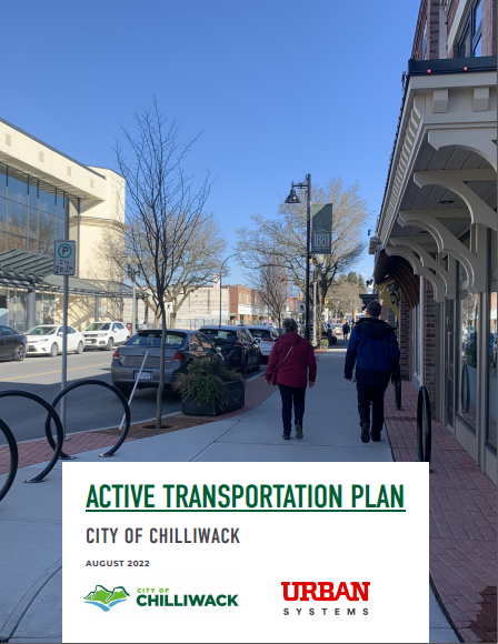
Chilliwack's Active Transportation was completed in August 2022. The plan helps guide future investments in active transportation to support a more balanced and sustainable transportation system. Feedback from the community informed the development of the Active Transportation Plan, and can be viewed here: Public Participation Summary.
The Active Transportation Plan focuses on the walking-related components of active transportation, including sidewalks, multi-use pathways, crossings, and other related infrastructure, policy and bylaw improvements, and highlights opportunities to improve accessibility throughout the community.
Read the Active Transportation Plan here.
The Chilliwack Transportation Plan
The Chilliwack Transportation Plan Update (2018) is a guiding document to balance road capacity demands with motorist, pedestrian, cyclist and transit needs. Traffic growth has been modelled to the year 2051, based on the 2040 Official Community Plan. Five and ten-year priorities have been identified and prioritized in order to deliver a cost-effective and efficient multi-modal transportation network.
This update includes many topics such as a safety plan, a transit plan, a signal plan and traffic growth.
Read the Chilliwack Transportation Plan Update here.
The Cycle Vision Plan
The Cycle Vision Plan identifies priorities for future additions to the bicycle network and identifies ways to create safe cycling facilities to encourage more people to cycle.
Completed projects that were designed with the Cycle Vision Plan in mind include:
- Chilliwack River Road - Promontory to Bailey - multi-use pathway
- Mary Street - Hodgins to Wellington - on-street bike lanes
- Broadway - Airport to Yale Road - buffered bike lanes
Tourism Chilliwack's Chilliwack City Bike Map is a great resource for anyone planning a bike ride throughout the community. Paper copies are available at the City of Chilliwack facilities, Chilliwack Visitor Center, PedalSport, Mt. Waddington's Outdoors, Vedder Mountain Bike Co, The Bookman, and the Abbotsford Airport. Additionally, the City is in the process of integrating its mapping system with the City's existing cycle network so future rides can be planned using your mobile device.
Read the Cycle Vision Plan here.
Multi-Use Pathways
Multi-use pathways are separate from the roadway and accommodate multiple modes of active transportation, including walking, cycling, and skateboarding.
- What is the benefit of a multi-use pathway?
Multi-use pathways separate motor vehicle traffic from users who walk, run, cycle, and roll. This helps increase the safety of all road users. - Who can use a multi-use pathway?
If you are walking, cycling, skateboarding, scootering, or e-scootering, you can use a multi-use pathway. - I am an experienced cyclist and prefer to ride on the road. Can I still do that when there is a multi-use pathway?
Yes, you can. Ensure that you and your bike are equipped to keep you safe during your ride. Wear high-visibility clothing and a helmet. Your bike should have reflectors. Bike in the same direction as traffic, and obey street signals, signals and road markings. - What side of the multi-use pathway should I travel on?
Whether you are walking, cycling, skateboarding or scootering, stay on the right side of the pathway. To pass a user, use the left side of the path when safe to do so.
Want to know more about multi-use pathways? Visit the BC government's Active Transportation Guide.
| Attachments | |||
| Description | Date | File Size | |
 |
Chilliwack Active Transportation Plan | 2022-08-17 | 9.63MB |
|
Chilliwack Active Transportation Plan - Appendix Public Participation Summary | 2025-01-10 | 201.21MB |
|
Chilliwack City Bike Map | 2025-01-10 | 4.72MB |
|
Chilliwack Cycle Vision Plan | 2025-01-10 | 14.63MB |
|
Chilliwack Transportation Plan Update | 2025-01-10 | 13.81MB |