Parks & Trails
All Trails
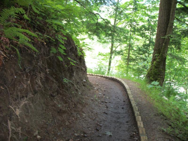
The Bridlewood Trail, Salmon Ridge Trail and interconnecting roads form one of the most popular trail networks in the Promontory area.
This trail network can be accessed locally from several trailheads in Promontory or from a parking lot on Chilliwack Lake Road.
- Difficulty: moderate – gravel trail with stairs
- Length: 1.3km / elevation gain: 110m
- Parking: local roads in Promontory and gravel parking lot on Chilliwack Lake Road
Adopt a Park/ Adopt a Trail
The City of Chilliwack has partnered with a number of local organizations and non-profit groups to develop an Adopt-a-Park and Adopt-a-Trail program. Groups volunteer their time to cleanup parks and trails in Chilliwack, to keep the community looking its best!
Greenspace / Trail Network Plans
Created as a supporting document to Chilliwack's Official Community Plan (OCP) the Greenspace Plan and supplementary Trail Network Plan sets out the City's goals and visions for developing new parks and trails over the coming decades.
Parks
The City of Chilliwack has over 100 parks and natural areas which together make up over 400 hectares of green space.
Responsible Drinking in City Parks
Information about the areas in Vedder Park where responsible alcohol consumption will be permitted May 15 - October 31.
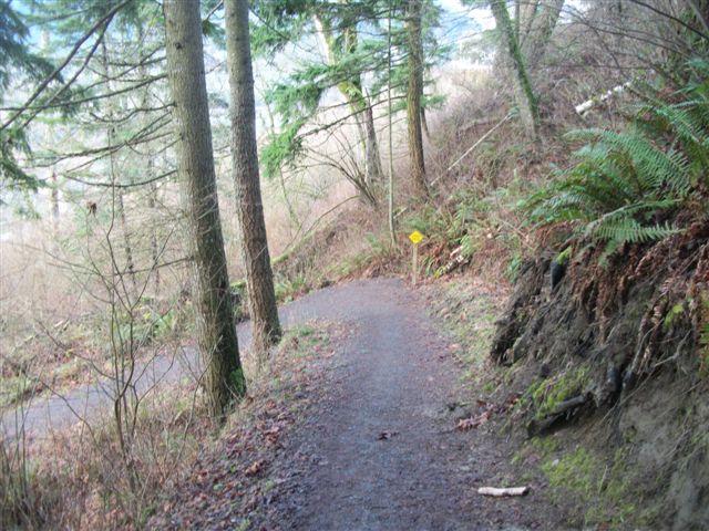
Trails
A listing of cycling / hiking trails in Chilliwack and vicinity.
Online Field Status
With the changing weather these days, it’s easy to check the status of Sports Fields online.