Parks & Trails
All Trails
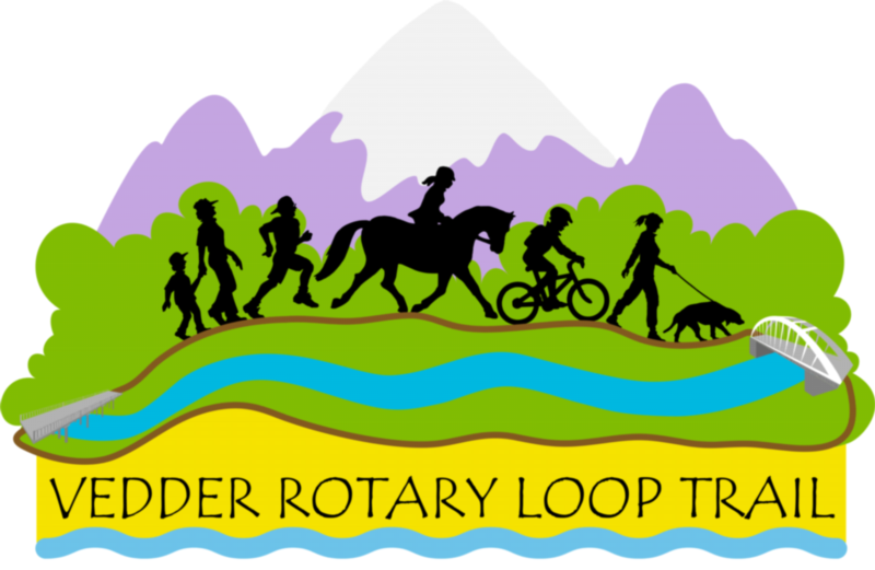
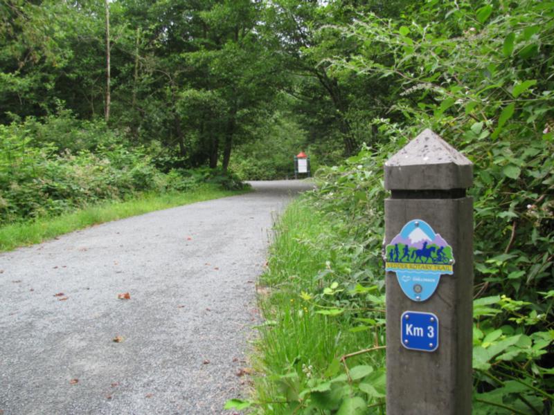
The 20+ kilometre Vedder Rotary Loop Trail is actually a composite of four trails. The overall route is marked by kilometre posts in a counter-clockwise direction starting at Vedder Park. The first 8.3km are on the Vedder Rotary Trail North, ending at a gravel stockpile area where it ramps up to join the next 1.7km section on the Vedder North Dyke Trail, leading to a crossing of the Vedder Canal on the Keith Wilson Bridge. From this point, the first 3.2km of the southern half of the route are on the Vedder South Dyke Trail. At Wilson Road, the trail turns toward the Vedder River to join the remaining 5.8km along the Vedder Rotary Trail South. The trail then ramps up from a river's edge trail to join the sidewalk leading to the crossing of the Vedder River on the Vedder Bridge back to km 0.
Along the route are several parks, landmarks and attractions to visit, some of which are detailed here:
• 0.0 Vedder Park / Legacy Trail Junction
• 1.6 Peach Park / Blueway Access
• 2.3 Webster Road, junction with Vedder North Dyke Trail (dog off-
leash trail)
• 3.0 East end Peach Creek Rotary Trail
• 3.1 Lickman Road parking lot / Blueway Access
• 4.4 West end Peach Creek Rotary Trail
• 4.8 Hopedale Parking Lot / Blueway Access / junction with alternate trail
• 6.5 Railway bridge underpass
• 6.5 Great Blue Heron Nature Reserve
• 8.0 Junction with Vedder North Dyke Trail
• 10.3 Keith Wilson Bridge / Vedder Canal
• 11.8 No. 3 Road parking lot / dog off-leash area
• 12.9 Yarrow Community Hall - Library
• 13.4 Wilson Road / start of Vedder Rotary Trail South & Browne Creek Wetlands
• 14.1 Southern Railway Bridge
• 14.4 Junction with Street Creek Trail
• 15.3 Bergman Road
• 16.2 Browne Road / Vedder River Campground
• 19.9 Giesbrecht Road
• 17.2 Usher Channel Bridge
• 20.2 Vedder Mountain Road sidewalk
• 20.3 Crossing Park / Blueway Access / Vedder Bridge
• 20.8 Legacy Trail junction
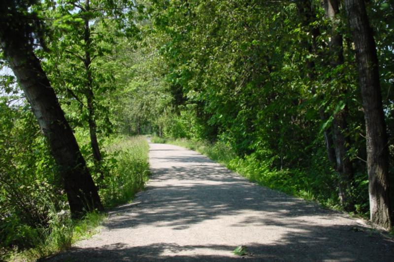
- Difficulty: easy – gravel trail
- Length: 20+km / elevation gain: 20m
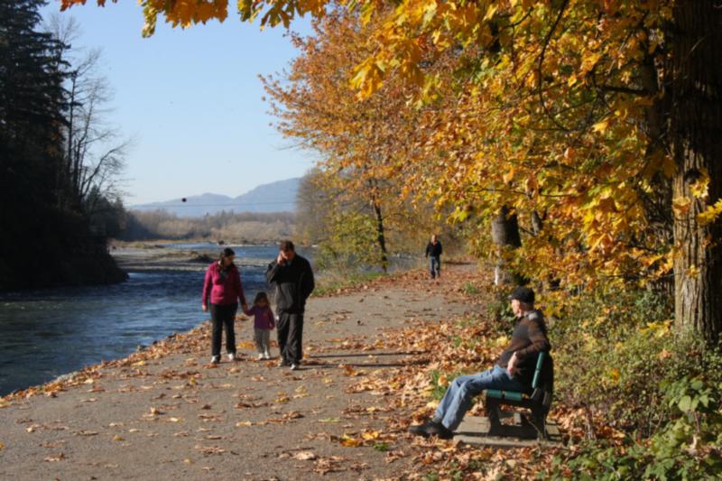
- Parking: Vedder Park, Peach Park, Lickman Road, Hopedale Road and at the Great Blue Heron Nature Reserve, Browne Creek Wetlands
- Facilities: picnic tables, benches, portable toilets, washrooms at the Great Blue Heron Nature Reserve Interpretive Centre
Adopt a Park/ Adopt a Trail
The City of Chilliwack has partnered with a number of local organizations and non-profit groups to develop an Adopt-a-Park and Adopt-a-Trail program. Groups volunteer their time to cleanup parks and trails in Chilliwack, to keep the community looking its best!
Greenspace / Trail Network Plans
Created as a supporting document to Chilliwack's Official Community Plan (OCP) the Greenspace Plan and supplementary Trail Network Plan sets out the City's goals and visions for developing new parks and trails over the coming decades.
Parks
The City of Chilliwack has over 100 parks and natural areas which together make up over 400 hectares of green space.
Responsible Drinking in City Parks
Information about the areas in Vedder Park where responsible alcohol consumption will be permitted May 15 - October 31.
Trails
A listing of cycling / hiking trails in Chilliwack and vicinity.
Online Field Status
With the changing weather these days, it’s easy to check the status of Sports Fields online.