Parks & Trails
All Trails
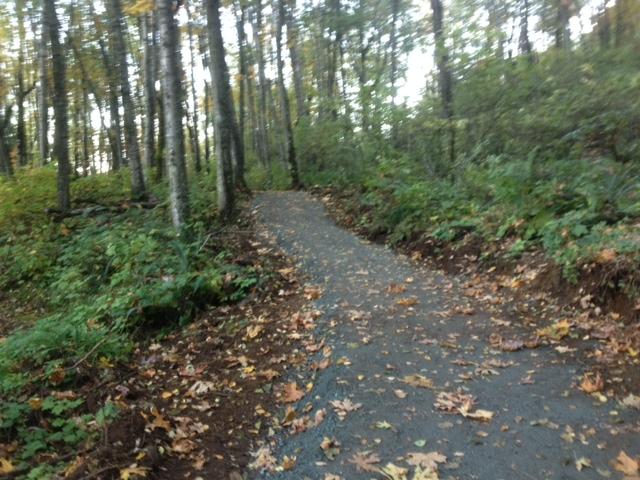
The Thom Creek Trail extends 3.2km from Teskey Way to the junction with Karver’s Trail, and then an additional 0.2km to the junction with the Lookout Loop Trail in Mount Thom Park. The Lookout Loop Trail then continues another 0.45km to the summit of Mount Thom at 484m.
The lower portion of the trail has a wide gravel surface. After reaching the side slope of Mount Thom, the trail narrows to 1m wide dirt trail, then widens again as a gravel trail to the summit.
- Difficulty: moderate – gravel & dirt trail
- Length: 3.4km / elevation gain: 266m to junction with Lookout Loop (4km and 344m to the summit)
- Parking: Teskey Way (east of Jinkerson Road), Sylvan Drive and MacFarlane Place
Adopt a Park/ Adopt a Trail
The City of Chilliwack has partnered with a number of local organizations and non-profit groups to develop an Adopt-a-Park and Adopt-a-Trail program. Groups volunteer their time to cleanup parks and trails in Chilliwack, to keep the community looking its best!
Greenspace / Trail Network Plans
Created as a supporting document to Chilliwack's Official Community Plan (OCP) the Greenspace Plan and supplementary Trail Network Plan sets out the City's goals and visions for developing new parks and trails over the coming decades.
Parks
The City of Chilliwack has over 100 parks and natural areas which together make up over 400 hectares of green space.
Responsible Drinking in City Parks
Information about the areas in Vedder Park where responsible alcohol consumption will be permitted May 15 - October 31.
Trails
A listing of cycling / hiking trails in Chilliwack and vicinity.
Online Field Status
With the changing weather these days, it’s easy to check the status of Sports Fields online.